A map of Delhi’s dynasties lets users trace the city one monument at a time
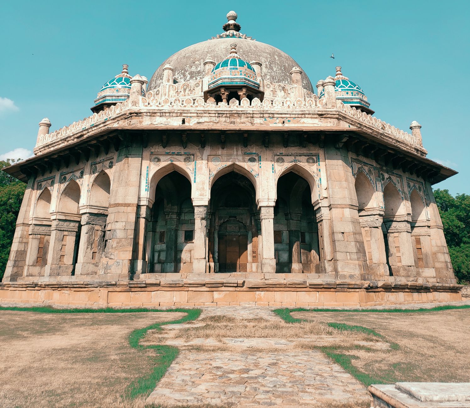
Kaustubh Misra’s website plots 18 historical layers of Delhi, from the Maurya Empire to British colonial rule.
Kaustubh Misra’s map lets users filter Delhi monuments by ruling dynasty and period, showing sites from different centuries across the city.
Kaustubh Misra’s map of Delhi begins with a red pin in Mehrauli: the Iron Pillar, filtered under the Gupta Empire, dated 375-415 CE.
The website lets users sort pinned heritage locations by the dynasties and eras that shaped the capital. It has 18 historical “layers”, running from the Maurya Empire to British colonial rule. Choosing the Maurya period, dated 250 BCE on the map, brings up three sites: Ashoka’s Rock Edict in Srinivaspuri and Ashoka pillars at Feroz Shah Kotla and the Northern Ridge.
Misra, originally from Lucknow, developed the project after living in Malviya Nagar while working in Delhi. Nearby, he found monuments from both the Tughlaq and Khilji eras. Individual sites carried Archaeological Survey of India boards, he said, but he wanted a way to connect them.
Users can select every layer at once to see the concentration of monuments across the city, particularly around Mehrauli, where structures from widely separated periods can appear within a short walk.
Misra sourced information on empires from Wikipedia and used coordinates from the ASI website. He said the map may also offer classrooms a more visual way to approach Delhi’s history.
Latest stories
- Delhi’s last red DTC bus withdrawn for scrapping after 15 years
- GMDA hires consultant to link recycled-water pipelines in Gurugram
- Railway Board sanctions trains for Bengaluru Pink Line’s elevated section
- Khalin Joshi takes six-shot lead at Bengaluru Open halfway stage
- MCG gives 24 hours to clear debris from Gurugram public spaces
- Mumbai: S. J. Poddar Academy Grade 6 students curate Zoographia
- Marsh crocodile rescued from 8-foot electricity duct at Aarey Metro complex
- Western Railway says Mumbai division collected 5.2 tonnes in cleanliness drive
- Over 1,000 students exhibit work at Bengaluru children’s biennale
- Delhi to set up 110 collection centres for old and damaged idols
- Mumbai: Nani says The Paradise makers expected an A certificate
- Niranjan Hiranandani shows six-storey Malabar Hill home Kanta
- Mumbai chocolatier makes 75kg chocolate Ganesha idol for Pune
- Heavy vehicles barred on Varthur-Gunjur SH-35 during peak hours
- CSMT inspection: PAC seeks wider north-side entry for evening rush
- Bengaluru Airport T2 hosts ten-day Odia food festival
- Delhi sets up 78 artificial ponds for Ganpati visarjan
- Mahapanchayat backs Gurgaon road-collision accused; biker calls it an attempt to shift the narrative
- Bengaluru Cantonment station redevelopment expected by December 2026
- Railways approves ₹497 crore to double Chouk–Karjat line
Cities
- Delhi news
- Gurgaon news
- Noida news
- Greater Noida news
- Ghaziabad news
- Faridabad news
- Delhi NCR news
- Bengaluru news
- Mumbai news
- Navi Mumbai news
- Thane news
Sections
- Top Stories
- Latest
- Politics
- Governance
- Civic Issues
- Transport and Traffic
- Metro
- Roads and Infrastructure
- Weather and Air Quality
- Business and Startups
- Real Estate
- Education
- Health
- Environment
- Courts and Policy
- Safety
- Arts and Culture
- Events
- Things To Do
- Food and Drink
- New Openings
- Shopping
- Nightlife
- Neighbourhoods
- People
- Technology
- Sports
GTK covers the news, people, culture, neighbourhoods, civic life and food shaping India’s cities. Better Starts With Us.