Delhi schedules GIS update of roads, drains and streetlights
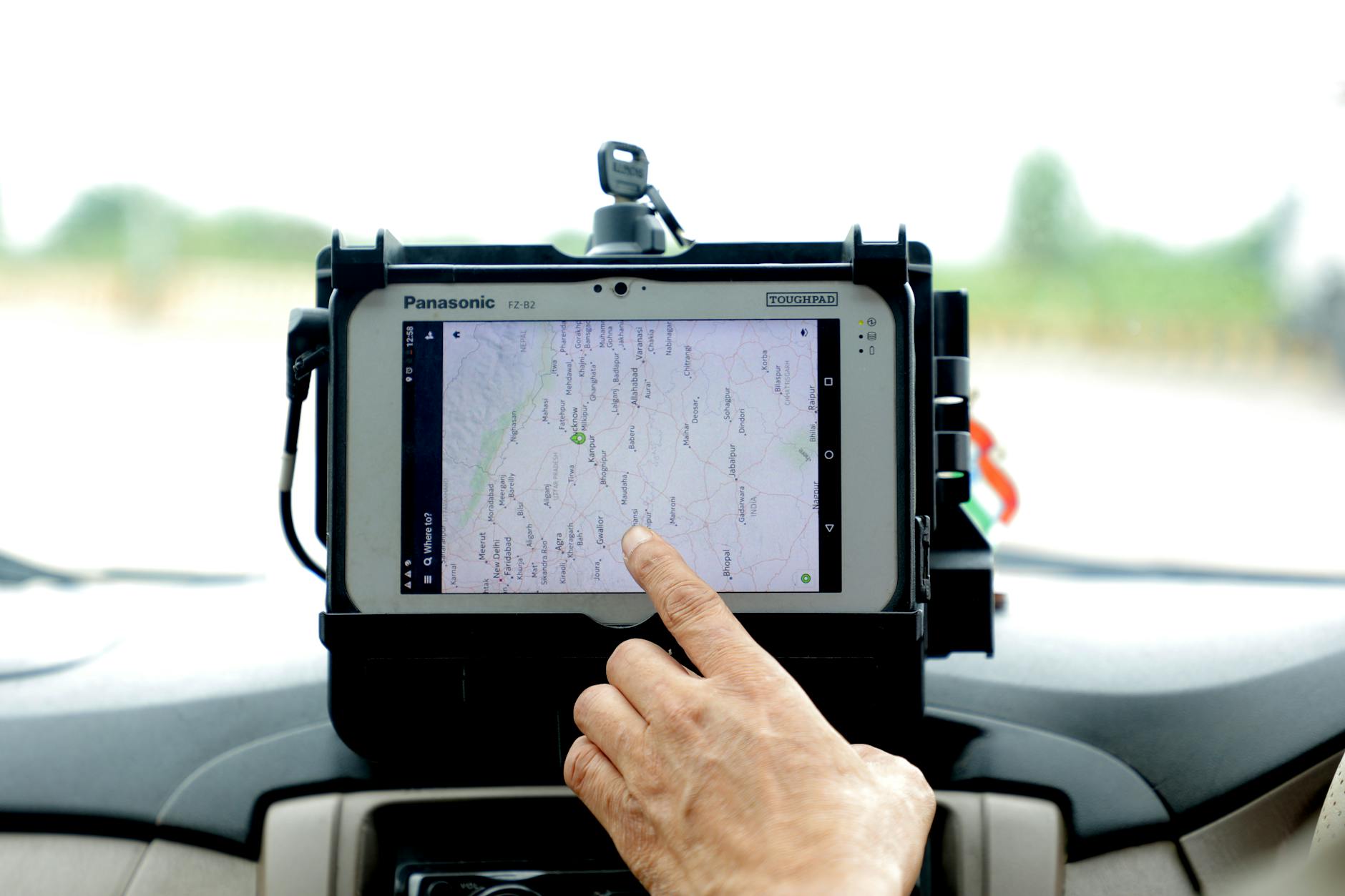
PWD divisions will verify and upload road data on a central digital platform between September 14 and October 1.
Delhi is creating a GIS inventory of roads, drains, crossings and streetlights to give road-owning agencies a shared record for upkeep and planning.
Delhi’s road network is being entered into a single GIS database, with PWD divisions scheduled to verify and add records from September 14 to October 1.
The Road Asset Updating System, developed by Geospatial Delhi Limited, will allow road-owning agencies to upload, check and regularly update information on individual stretches. PWD is reviewing its existing data and filling gaps with support from a dedicated GIS Cell and a Geospatial Delhi Limited official.
Each stretch will carry 18 mandatory details, including its classification, start and end points, coordinates, lane count, surface type, width and the agency responsible for upkeep. The platform will also log roadside assets including medians, parking areas, stormwater drains, cycle tracks, zebra crossings, speed breakers and streetlight poles.
A PWD order dated September 10 directed divisions to add road stretches that are not already on the system during the verification exercise.
Latest stories
- Delhi’s last red DTC bus withdrawn for scrapping after 15 years
- GMDA hires consultant to link recycled-water pipelines in Gurugram
- Railway Board sanctions trains for Bengaluru Pink Line’s elevated section
- Khalin Joshi takes six-shot lead at Bengaluru Open halfway stage
- MCG gives 24 hours to clear debris from Gurugram public spaces
- Mumbai: S. J. Poddar Academy Grade 6 students curate Zoographia
- Marsh crocodile rescued from 8-foot electricity duct at Aarey Metro complex
- Western Railway says Mumbai division collected 5.2 tonnes in cleanliness drive
- Over 1,000 students exhibit work at Bengaluru children’s biennale
- Delhi to set up 110 collection centres for old and damaged idols
- Mumbai: Nani says The Paradise makers expected an A certificate
- Niranjan Hiranandani shows six-storey Malabar Hill home Kanta
- Mumbai chocolatier makes 75kg chocolate Ganesha idol for Pune
- Heavy vehicles barred on Varthur-Gunjur SH-35 during peak hours
- CSMT inspection: PAC seeks wider north-side entry for evening rush
- Bengaluru Airport T2 hosts ten-day Odia food festival
- Delhi sets up 78 artificial ponds for Ganpati visarjan
- Mahapanchayat backs Gurgaon road-collision accused; biker calls it an attempt to shift the narrative
- Bengaluru Cantonment station redevelopment expected by December 2026
- Railways approves ₹497 crore to double Chouk–Karjat line
Cities
- Delhi news
- Gurgaon news
- Noida news
- Greater Noida news
- Ghaziabad news
- Faridabad news
- Delhi NCR news
- Bengaluru news
- Mumbai news
- Navi Mumbai news
- Thane news
Sections
- Top Stories
- Latest
- Politics
- Governance
- Civic Issues
- Transport and Traffic
- Metro
- Roads and Infrastructure
- Weather and Air Quality
- Business and Startups
- Real Estate
- Education
- Health
- Environment
- Courts and Policy
- Safety
- Arts and Culture
- Events
- Things To Do
- Food and Drink
- New Openings
- Shopping
- Nightlife
- Neighbourhoods
- People
- Technology
- Sports
GTK covers the news, people, culture, neighbourhoods, civic life and food shaping India’s cities. Better Starts With Us.